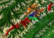
 |
Kootenay National Park of Canada, British Columbia |
Kootenay National Park |
Sparkgeo |
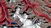 |
Jasper National Park of Canada, Alberta |
Jasper National Park |
Vertex Resource Group |
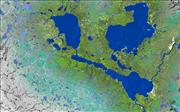 |
Prince Albert National Park of Canada, Saskatchewan |
Prince Albert National Park |
TRE Altamira Inc. |
 |
Riding Mountain National Park of Canada, Manitoba |
A Prairie Oasis |
NextGen Environmental Research Inc. |
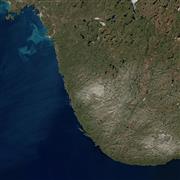 |
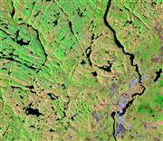
Pukaskwa National Park of Canada, Northeastern Lake Superior, Ontario |
Pukaskwa National Park |
Marcel Morin (Lost Art Cartography) |
 |
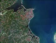
La Mauricie National Park of Canada, Quebec |
Sweet Summer in Mauricie |
Dromadaire Géo-Innovations |
 |
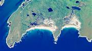
Kouchibouguac National Park of Canada, New Brunswick |
Kouchibouguac National Park |
SceneSharp Technologies Inc. |
 |
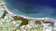
Kejimkujik National Park of Canada, Nova Scotia |
Kejimkujik National Park Seaside |
Paul Illsley |
 |
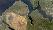
Prince Edward Island National Park of Canada, Brackley section, Prince Edward Island |
Coastline where Land and Sea Meet |
Arctus Inc. |
 |
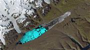
Gros Morne National Park of Canada, Newfoundland and Labrador |
Gros Morne National Park |
Gros Morne Co-operating Association |
 |
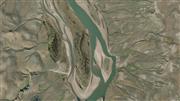
Quttinirpaaq National Park of Canada, Nunavut |
Seasons at the Top of the World |
H2O Geomatics |
 |
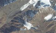
Thomsen River, Aulavik National Park of Canada on Banks Island, Northwest Territories |
Serpent of the North |
Esri Canada Limited |
 |
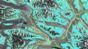
Mount Hoge, Kluane National Park and Reserve of Canada, Yukon |
Kluane National Park and Reserve |
Maxar Technologies |
 |
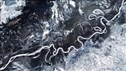
Tatshenshini-Alsek Provincial Park, British Columbia |
Satellite Art that Moves You: InSAR Ground Deformation Measurements in Tatshenshini-Alsek Provincial Park, BC |
3v Geomatics |
 |
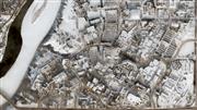
Peace River, Alberta |
The Peace River – Frozen in Time |
BGC |
 |
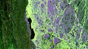
Saskatoon, Saskatchewan |
Saskatoon, A Prairie Winter City |
Western Heritage |
 |
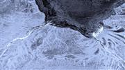
Churchill, Manitoba |
Chillingly Beautiful Melt Ponds |
Ducks Unlimited Canada |
 |
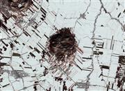
Moose River and James Bay, Ontario |
Freeze-up in Northern Ontario – Moose River and James Bay |
Cardinalus |
 |
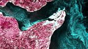
Mont Rougemont, Quebec |
Apple Capital of Quebec |
Effigis GeoSolutions |
 |
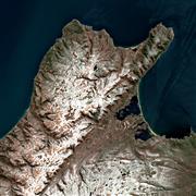
Chaleur Bay, New Brunswick |
New Brunswick's Year-Round Ocean Beauty |
3D Planeta |
 |
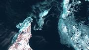
Northern Cape Breton Island, Nova Scotia |
Cape Breton Highlands of Nova Scotia with a Winter Coat of Snow |
Lost Art Cartography |
 |
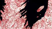
North Cape, Prince Edward Island |
The Beauty of Sea Ice in Canada |
Arctus |
 |
Conception Bay South, Newfoundland and Labrador |
Winterscape |
Wood Canada Limited |
 |
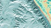
Mittimatalik, Nunavut |
Qaamisimajuq – Blanket of Winter |
SmartICE |
 |
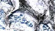
Smoking Hills, Northwest Territories |
Fire and Ice |
Arctic Eider Society |
 |
Kluane Lake, Yukon |
Winter in the Yukon |
Polar View |
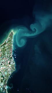 |
North Cape, Prince Edward Island |
The North Cape Eddies: A Satellite Tribute to the Traditions of Prince Edward Island |
Arctus |
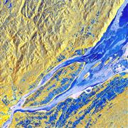 |
St. Lawrence River, Quebec |
Winter Drift |
Dromadaire Géo-Innovations |
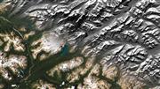 |
Banff National Park, Alberta |
Unveiling the radar beauty of Banff National Park |
TRE Altamira |
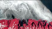 |
Pacific Rim National Park, British Columbia |
A swirl of clouds at the Pacific Rim |
Hatfield Consultants LLP |
 |
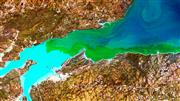
Lake Winnipeg, Manitoba |
Beautifully Unfortunate |
NextGen Environmental Research Inc. |
 |
Bay of Fundy, New Brunswick |
Giraffe Meets Van Gogh in Fundy Bay, New Brunswick |
Digital Earth Geomatics |
 |
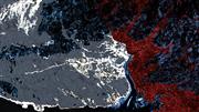
Cape Spear Lighthouse National Historic Site, Newfoundland and Labrador |
A Painter's Palette at the Edge of the Earth |
C-CORE |
 |
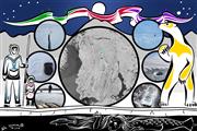
Bay of Fundy, Nova Scotia |
Viresco (Meaning: I will flourish, I will grow) |
KorrAI Technologies |
 |
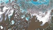
Sanikiluaq, Nunavut |
Sikumiut – People of the Ice |
Arctic Eider Society |
 |
Inuvialuit Settlement Region, Northwest Territories |
The Floe of Time |
Polar View |
 |
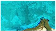
Rideau Lakes, Ontario |
The best of both worlds |
CATALYST (PCI Geomatics) |
 |
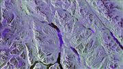
Lake Athabasca, Saskatchewan |
Harmony |
J.D. Mollard and Associates |
 |
Whitehorse, Yukon |
Mr. Whitehorse |
MDA |


