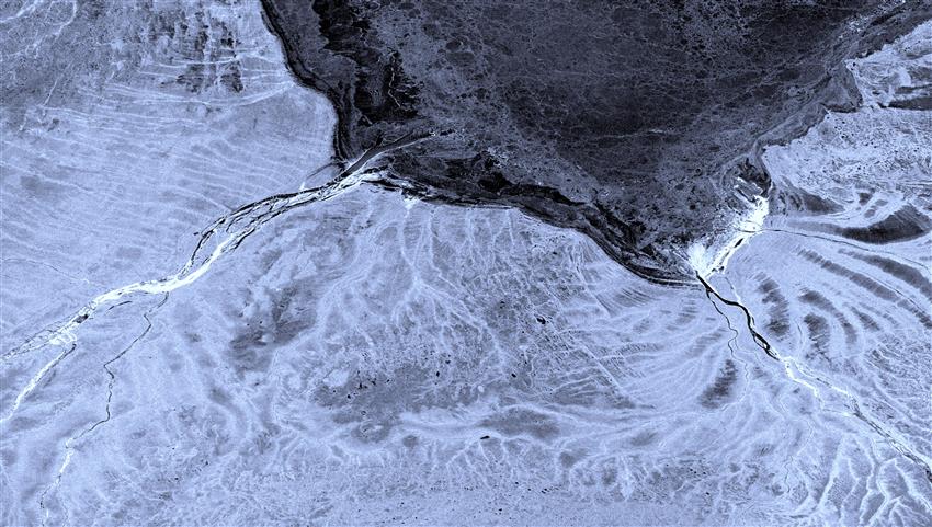
Freeze-up in Northern Ontario – Moose River and James Bay
- Location: Moose River and James Bay, Ontario
- Company: Cardinalus
Nearly a quarter of Ontario is northern wetland, a relatively flat area comprised of fens, bogs and sparse forest. Much of it is either continuous or discontinuous permafrost and poorly drained. Other features of the landscape include raised shorelines resulting from the land's slow rise since the last glacial period.
One of the unique aspects of radar systems is the sensitivity to even subtle variations in Earth's surface. This image from the European Sentinel-1 satellite shows the extensive and intricate drainage patterns of Moose River, which flows into James Bay.
In this part of the world, winter starts early. The , radar image shows the formation of river ice rubble, in very bright radar returns, as well as the formation of sea ice in James Bay.
