Timely and effective disaster management with RADARSAT data
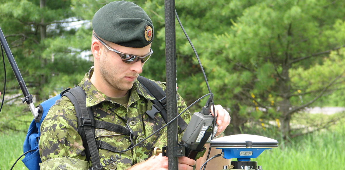
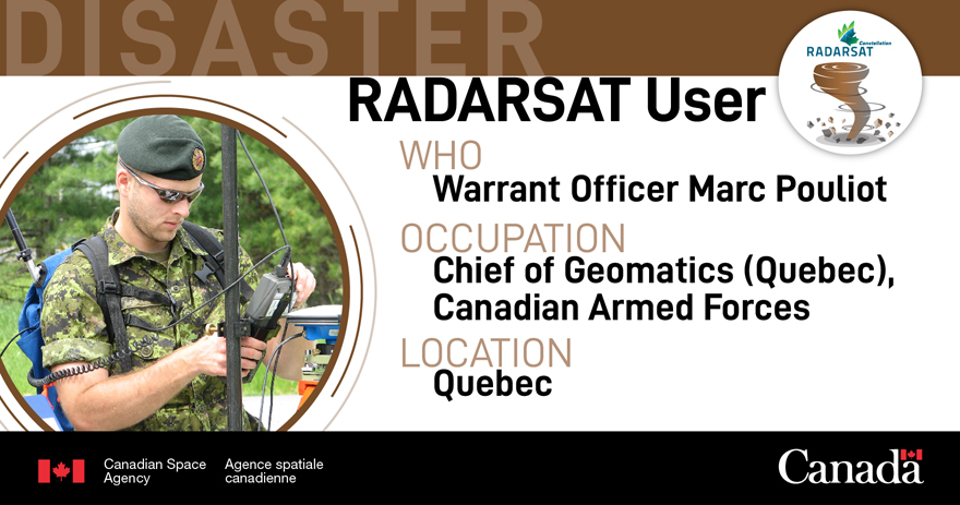
I am Marc Pouliot, Chief of Geomatics for the province of Quebec within the CAF. I work as a first responder on the ground during natural disasters. My main role is to advise CAF decision makers on the ground in order to help them prioritize response efforts. We use RADARSAT data to track and analyze the situation in real time.
Satellite data is essential—critical—for first responders. It enables us to have an overview of the entire terrain and the damages that have been caused in order to quickly assess the effort and personnel required on the ground. Satellite data also enables us to establish concrete action plans based on the extent of the damage.
Effective in any weather conditions

RADARSAT works 24/7 no matter the meteorological conditions, even when thunderstorms are building, like in this photo taken from space. (Credit: NASA)
RADARSAT works 24/7, regardless of the meteorological conditions. During natural disasters, cloud cover, whether as a result of rain or smoke, is dense and pervasive. RADARSAT data is particularly useful in such cases. By contrast, traditional optical satellite imagery and aerial images taken from planes are not terribly useful in those conditions.
During the floods in the Montreal and Gatineau areas, we were able to monitor the rising waters even though weather conditions were unfavourable, and the CAF pre-positioned sand bags and pumps in critical, strategic locations where the water was migrating.
An essential tool to help Canadians

RADARSAT data is an essential tool used by first responders to help Canadians during natural disasters.
As a first responder on the ground, I see RADARSAT data as indispensable when there are natural disasters because it allows first responders to focus their energies on the right places and even take preventive measures to limit damages. All of those efforts are aimed first and foremost at helping Canadians who are at the mercy of mother nature's whims to get back to their normal lives as soon as possible with the least possible impact.
