Making safe passage through ice possible with RADARSAT data

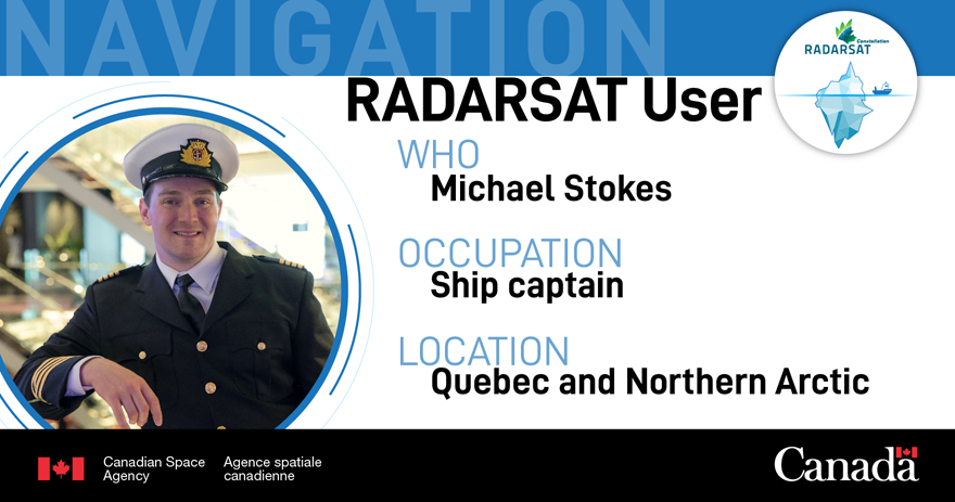
I am Michael Stokes, a ship's captain with Fednav/Anglo-Eastern Ship Management, and I mostly work in the Arctic. I specialize in ice navigation in extreme environments and am one of the few captains who operates in the region. I regularly use sea ice charts from the Canadian Ice Service and RADARSAT data to obtain information regarding heavy ice concentrations and floes, which enables me to establish voyage routes. There are often huge ice obstacles in some of these zones, and RADARSAT data is often the only tool that can help ships navigate them.
Helping bring essentials to northern communities

RADARSAT data helps ships navigate to northern communities, enabling food to be delivered.
RADARSAT data benefits Canadians in a number of ways. One example is the year-round transportation of food to northern communities. We also provide employees of the Raglan nickel mine [in Quebec's far north] with food, fuel, mining equipment, and everything else they need to survive up there. We then take the nickel concentrates that they extracted to Quebec City. If we can't supply those workers, they have to shut down the whole mine. So the services that we and RADARSAT provide are vital.
Navigating tough routes

The large body of water is Hudson Bay. The narrow passage leading to it is Hudson Strait, through which Captain Stokes navigates using RADARSAT data. (Credit: Media Bakery)
RADARSAT data is essential to my work. The ship I navigate is 40 years old and is the oldest in the fleet. Since it doesn't have as much power as some of our newer ships, I can't just go blasting through the ice. In fact there is a real danger of getting jammed, as has happened on several occasions, and that risks damaging the ship. RADARSAT data provides me with the finer details that I need to make delicate navigation decisions, particularly on tough routes such as the Hudson Strait.
Keeping up with constantly changing ice

Ice is constantly changing, making it necessary to have multiple recent RADARSAT images.
Ice is a moving, dynamic element that can be heavily affected by winds and tides. I can get a RADARSAT image in the morning, but if the wind goes in a certain direction all day, an image taken six or seven hours later may be totally different. I prefer having access to as many RADARSAT images as possible, as they enable me to see how the situation is changing.
Michael Stokes at a glance
Credit: Canadian Space Agency