

Monitoring the Arctic and the Great Canadian North
[Keywords: ice]
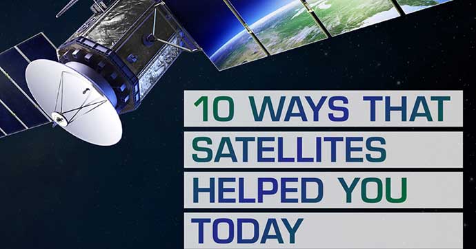
Satellites play an essential role in our everyday lives. In fact, they contribute to our well-being and make it possible for us to meet many important needs and challenges on Earth. They are useful in many fields, such as Earth observation, communications, navigation, and science.
Satellite data helps:
Satellite data is part of your day-to-day life. Experts from the Canadian Space Agency and Earth observation experts from all over the country are working on satellite missions in order to keep you safe and improve your quality of life. (Credits: Canadian Space Agency, MacDonald, Dettwiler and Associates Ltd. (MDA), NASA, National Oceanic and Atmospheric Administration, RADARSAT Constellation Mission imagery © Government of Canada (2020). RADARSAT is an official mark of the Canadian Space Agency. Value-added product generated by © Effigis, Vertex Resource Group. Contains modified Copernicus Sentinel-2 data processed by ESA, RADARSAT Constellation Mission imagery © Government of Canada [2022]. RADARSAT is an official mark of the Canadian Space Agency. Data processed by Dromadaire Géo-Innovations, European Space Agency, European Union – Copernicus Program, contains modified Sentinel-2 data processed by Sentinel-Hub)
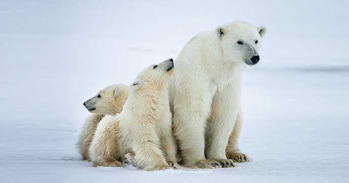
[Keywords: ice]
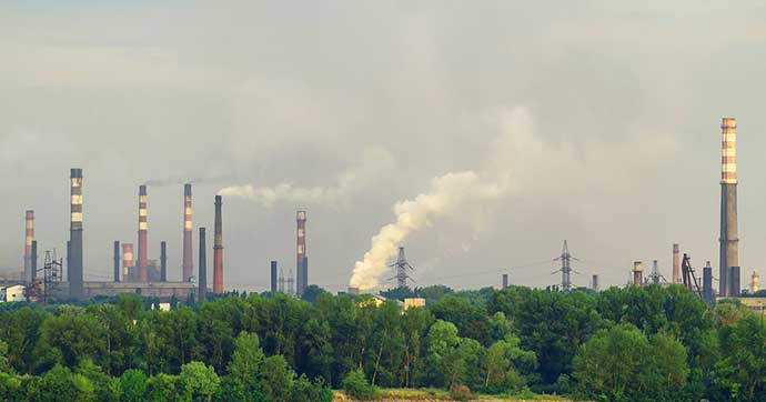
[Keywords: impact, action plan]
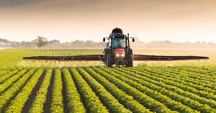
[Keywords: agriculture]
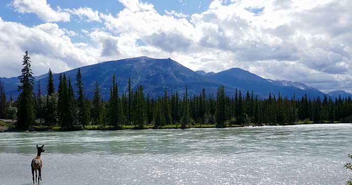
[Keywords: marine surveillance, water, soil moisture, water cycle, ocean, forests]

[Keywords: natural disasters]

[Keywords: disease, water, sun, ozone layer]

[Keywords: safety, navigation]
[Keywords: farmer, TV, Internet, GPS, phone]