Language selection

Search


Top of page

Canada's Strategy for Satellite Earth Observation

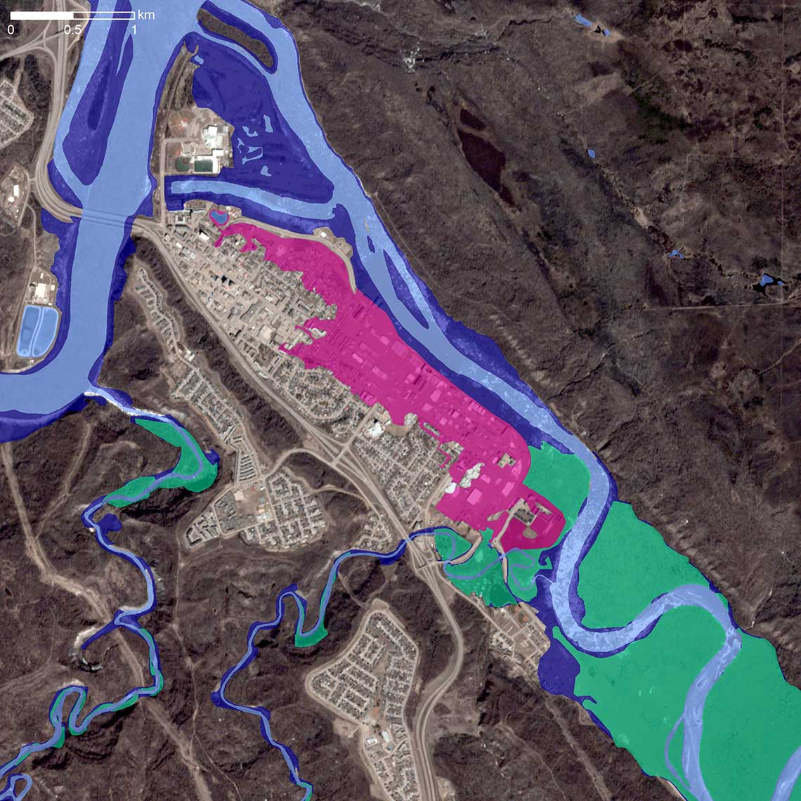
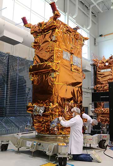
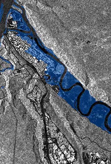
Satellite Earth observation (or "satellite EO") is the use of satellites to gather information about Earth's oceans, land, climate, and populated areas. This information helps us protect our environment, monitor infrastructure, ensure Canadian sovereignty, and conduct state-of-the-art science. In today's society, Earth observation data from satellites has become an integral part of our digital economy, benefitting industry, academia, and governments alike; it is critical to a sustainable future.

A combination of Canadian synthetic aperture radar and commercial optical satellite images was used to create this map, which shows the extent of flooding in the spring of in Fort McMurray, Alberta. The Athabasca River's normal extent can be seen in light blue. The dark blue indicates flooding over open land, the pink shows urban flooding, and the green indicates flooded farmland. Satellite EO products like these help local officials respond quickly and inform future planning to reduce flood risk. (Credits: Image © Planet Labs Inc. All Rights Reserved. Reprinted by permission. Flood extent product by Natural Resources Canada)

Printable version (PDF, 2.04 MB)

Date modified: