Data Compendium - Radar imaging over the polar regions

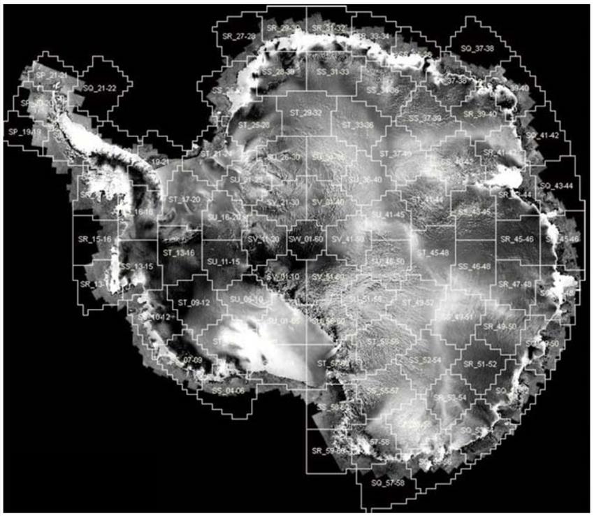
2016-04-21 - In 1997, the first mosaic of the Antarctic continent was completed with radar images acquired by Canadian satellite RADARSAT-1. Data available through the Polar Data Catalogue. (Credits: Canadian Space Agency, Ohio State University, Alaska Satellite Facility)
File size: 0.5 MB
Image size: 1336 x 1160 pixels
Resolution: 96 dpi
Copyright / Permission to reproduce
- Date modified: