
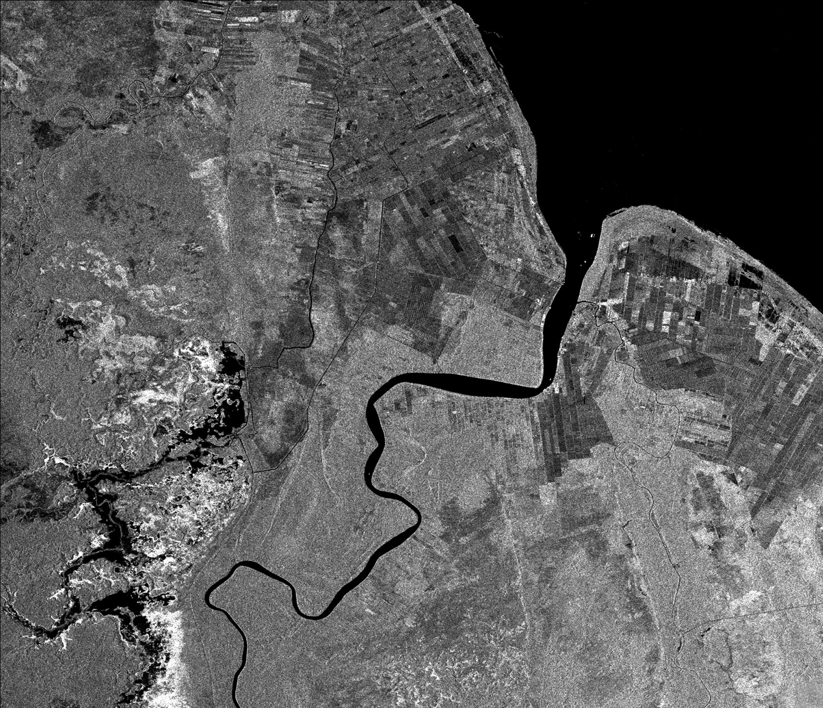
Berbice River, Guyana
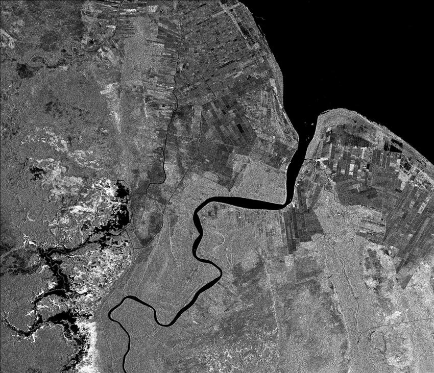
The main crop of this region is sugar cane, grown in large, elongated fields. The very dark fields have been harvested and burned, which effectively flattens them and results in a dark tone on this RADARSAT image. Near the top of the image, rice paddies are visible as much smaller fields, while coconut plantations follow old beach ridges along the coast. The tropical forest cover is a uniform grey and the mangrove forests around the mouth of the Berbice River are also an even, smooth grey tone. A large mottled area in the lower left portion of the image is a newly flooded reservoir. Black indicates water, while the bright tones represent flooded trees and stumps. (Credit: Canadian Space Agency)
File size: 1.1 MB
Image size: 1679 x 1445 pixels
Resolution: 250 dpi
Image date: April 12, 1996
Useful link(s)
Copyright / Permission to reproduce
- Date modified: