
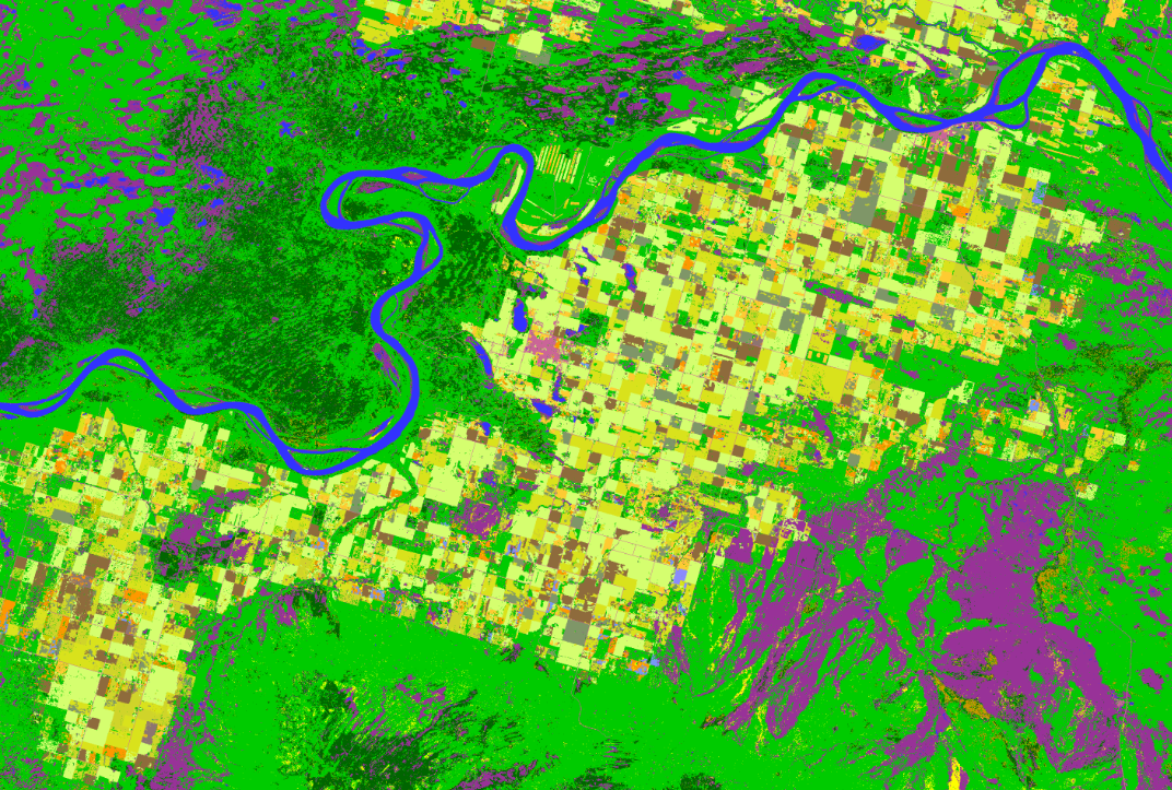
Agricultural are in Alberta and its different types of crops

2023-04-04 – This image produced using data from the RCM shows an agricultural area in Alberta featuring different types of crops (shades of yellow and brown), which are distinct from the forests and wetlands (green and purple). Satellite imagery can be used to estimate the condition of crops and to determine the amount of cropland and the type of crop (e.g. wheat, barley, soybean) as well as the volume that will be produced, for example. (Credit: RADARSAT Constellation Mission imagery © Government of Canada [2022]. RADARSAT is an official mark of the Canadian Space Agency. Data processed by Dromadaire Géo-Innovations)
File size: 1.49 MB
Image size: 1072 x 723 pixels
Resolution: 96 dpi
- Date modified: