Detecting landslide risks on a wide scale
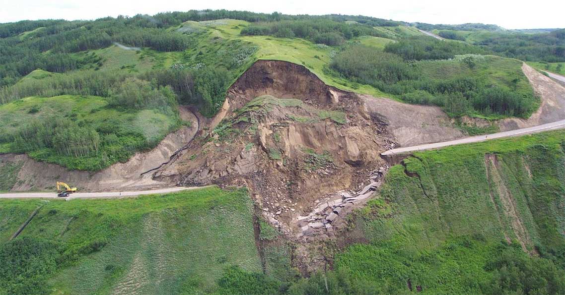
Thousands of landslides occur each year in Canada and have a major impact on safety and economic well-being. The cost of direct and indirect damage is estimated to be between $200 and $400 million per year (source: Natural Resources Canada). British Columbia's steep, mountainous terrain, geology, high precipitation and location in relation to the Pacific earthquake zone make it particularly susceptible to landslide activity. Geotechnical studies to identify and understand high-risk landslide areas are costly, and Canada's size makes it nearly impossible to proactively map landslide risk on a large scale with traditional techniques.
In the context of a recent Request for Proposals entitled "Development of Innovative Earth Observation Solutions for Disaster Management in a Canadian Context," 3vGeomatics is receiving funding through the Canadian Space Agency's (CSA's) Earth Observation Applications Development Program (EOADP) to support the development of an operational landslide alerting and monitoring system for wide areas.
By using radar imagery from RADARSAT-2 and Canadian-supported Earth Observation missions, 3vGeomatics will develop a new software tool which will enable the identification, mapping and monitoring of high-risk landslide areas in British Columbia. The proposed monitoring system will compile a historical inventory of landslides in the province, and provide information on new landslide risks to improve early detection and mitigate their impact.
Under this project, the Wide Area Landslide Alerting System (WALAS) will be developed and demonstrated in British Columbia. This innovative technology, which could be applied across Canada, will enable decision makers to identify the location of potential landslides and provide a better understanding of each slide to improve preparedness and mitigation, thus significantly decreasing the impact of landslides in Canada.

