A new water management program using RADARSAT-2
2016-02-09 - Satellites like RADARSAT-2 provide imagery that helps scientists better understand our planet and improve management of natural resources – like water.
It takes many steps for radar imagery to be captured, processed, analyzed, validated and transformed into data sets that can be used to make reliable and useful predictions. In fact, such products and services can only be achieved through the combination of technology and science.
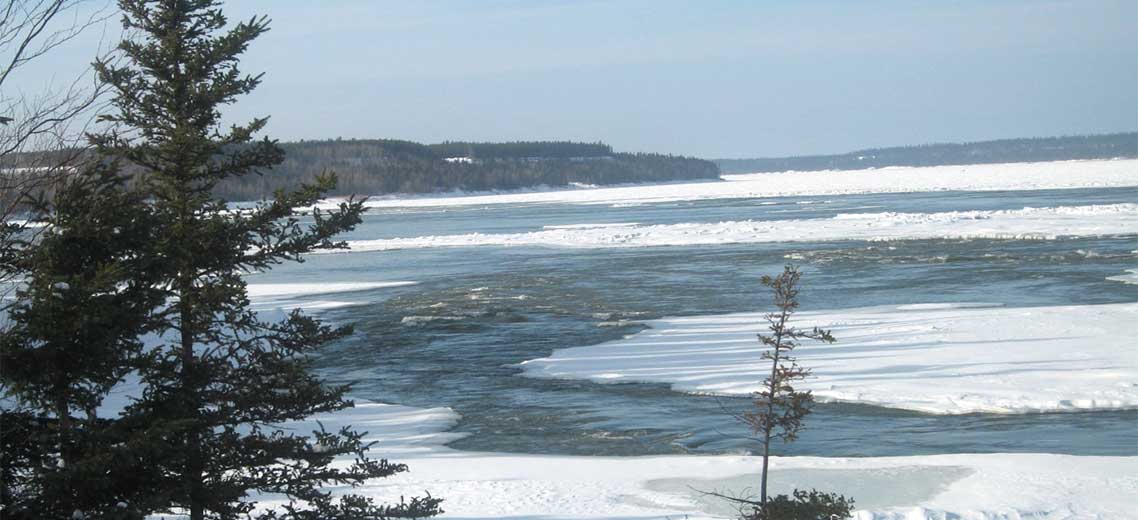
A Canadian research and development (R&D) corporation – C-CORE – is currently working with scientists from the University of Saskatchewan to develop a new water management program using RADARSAT-2 to monitor river ice cover in northern regions.
C-CORE's proposal – Monitor the Slave River Delta from space
This project, funded by the Canadian Space Agency (CSA), is a response to the Government of Northwest Territories' concerns regarding the quality and abundance of water in the Slave River Delta.
The program tracks several key environmental indicators in order to assess potential threats. For example:
- Flooding can affect the productivity of the delta.
- Changes in water temperature can degrade the quality of fish.
- Heavy river ice build-up can threaten traditional winter trapping of furbearing animals such as beaver and muskrat.
- Weak or thin ice can pose dangers to travellers.
- Changing river courses can affect access to hunting and fishing grounds.
- Sediment flowing into the river could be a source of contamination.
In order to understand the ice changes and develop reliable modelling systems using RADARSAT-2 imagery, scientists must determine all the conditions affecting ice movement. To do this, Associate Professor Karl-Erich Lindenschmidt and his team at the University of Saskatchewan validate the remote sensing data on site and then establish patterns to generate accurate predictions.
Why monitor river ice?
In northern regions, river ice cover plays a determining role in water management, conservation of aquatic ecosystems and the preservation of traditional lifestyles of local people.
Why monitor from space?
Ground-based monitoring of waters in these regions is expensive and restricted to a few locations due to limited accessibility. Space-based observation or remote sensing can provide a viable alternative and a more suitable approach.
The project is expected to be completed by . The resulting program and tools will be provided to the Government of Northwest Territories to implement and continue monitoring the Slave River and its delta as well as other rivers in northern regions.
The CSA and Earth observation applications & utilizations
The Canadian Space Agency (CSA) funds research and development projects to maximize the use of satellite imagery and develop products and services that help scientists and researchers better understand our planet and improve management of natural resources. This initiative, "Monitoring Water Ecosystems using Earth Observation," is supported by the Earth Observation Application Development Program (EOADP). More information

